BLOG ARTICLE
What Is GOVRAX? Smarter Access for the Outdoors
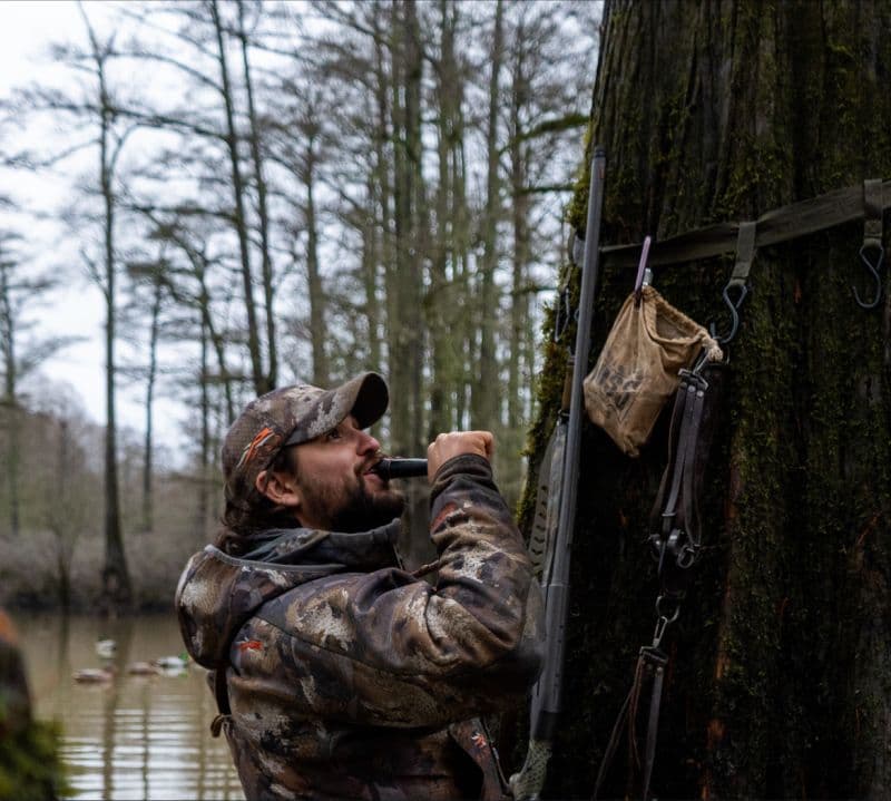

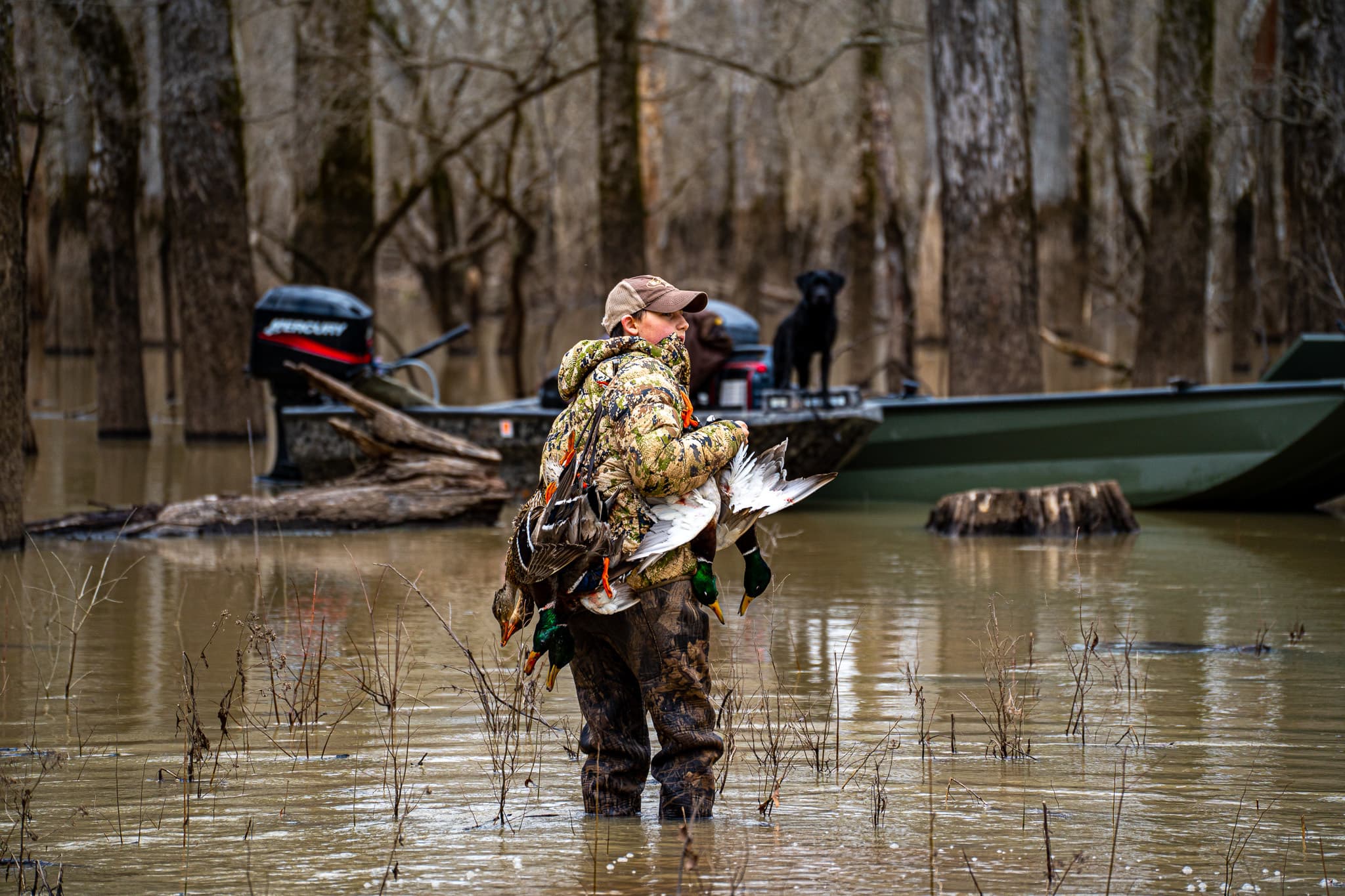
The outdoors is one of the last great freedoms—but access is getting more complicated. Agencies are stretched thin. Landowners are cautious. Hunters, anglers, and other recreationists are navigating a patchwork of rules, maps, and gates. GOVRAX is here to fix that.
We build modern software that simplifies and secures land access—for both public and private lands. Whether it’s a state wildlife agency managing a controlled draw, or a private landowner leasing acreage for hunting season, GOVRAX gives them the tools to do it better.
What We Do
At our core, GOVRAX is a platform for location-based land access management. That means:
- Draw & Reservation Systems: We power fair, flexible, and secure draws for hunts, permits, and land access—custom-built for agency workflows or private needs.
- Check-In/Check-Out & Geofencing: Our tools track when users enter and exit, verify their location on the property, and help ensure people stay on designated trails or zones.
- Mapping & Geospatial Intelligence: Real-time, mobile-friendly maps with customizable overlays let land managers and users stay aligned—literally. All backed by geospatial data.
- Harvest Reporting & Exit Surveys: We make it easy to collect data on success rates, wildlife sightings, road conditions, and more, helping landowners and biologists manage resources wisely.
- Liability & Trust Tools: Require digital check-ins, proof of insurance, signed leases, or exit surveys before access. Everyone knows the rules. Everyone’s on the same page.
Who We Serve
- State and Local Agencies looking to digitize draw systems, improve enforcement, and gather data from public land users.
- Private Landowners and Leasing Groups who want to monetize access while keeping their property protected and well-managed.
- Hunters, Anglers, and Outdoor Enthusiasts who just want a clear, reliable way to find and use land, without jumping through hoops.
Why We Built GOVRAX
We’re not just a tech company. We’re hunters. Veterans. Conservationists. We know what it’s like to drive hours for a duck hunt, only to find a gate locked or access denied. We’ve seen habitat destroyed by off-road vehicles that weren’t supposed to be there. We’ve watched great land sit unused because of unclear rules or fear of liability.
So we built a better system. One that makes access smarter. Safer. And built for the long game. If you're a land manager, agency leader, or just someone who cares about the future of the outdoors, we'd love to talk. Let’s build something that works for everyone.